The bittersweet truth: it’s impossible to keep up with the pace of FOSS4G-technology
If anything, we brought from Tanzania’s FOSS4G 2018 (Free and Open Source Geospatial Software -conference) a clear view of the wide scope and depth of the FOSS4G technology. These technologies solve some major issues in the world from the geospatial standing point. Besides that we felt the strong community that fuels this powerful ecosystem: its people.
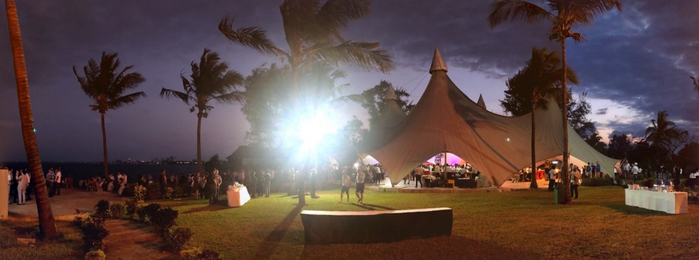
Few moments from FOSS4G.
This year there was an emphasis on the user side of the ecosystem. World Bank’s Understanding risk event (with the generally strong UN presence), the HotOSM Summit and other eventualities were held in a shared manner with the FOSS4G 2018. The organizers also succeeded to highlight and push forward the local essence of the conference by enabling and inviting a lot of people from different African countries representing governmental offices, private sector companies and universities. This really showed the crowd quite explicitly how important open source geospatial software is for the world community.

While these organizations and individuals use significantly open source geospatial software to advance their objectives, the challenges come when they want to expand the usage of these powerful software tools. There’s just so much to learn and so little time to process.
At Gispo, we got to learn for example about the widespread use of GeoNode for geoportals, the great geoprocessing tool for point clouds PDAL besides the colossal AWS fueling away with autoscaling GeoServer. These – and much more! – are all great advances for the global geospatial industry.
We’re happy to be part of this community and we’ll send our appreciations for all the people that made FOSS4G 2018 Dar es Salaam possible, and specially for making it possible for the people that never couldn’t even imagine attending a FOSS4G conference.
