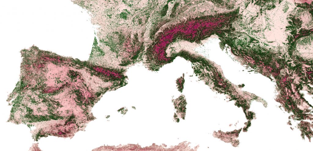
Empowering European Commission with GIS Capabilities through QGIS Training
Leveraging open source software to unlock the power of geographic information
The European Commission has been a strong advocate for the use of open source software, recognizing its potential to reduce costs, increase flexibility, and promote innovation. One area in which the Commission has identified a great potential is the use of geographic information for data analysis and policy-making.
Geographic information can provide valuable insights into a range of complex issues, such as demographic trends, economic conditions, and environmental patterns. The Commission recognizes the importance of leveraging this information to support evidence-based decision-making, and has taken steps to build capabilities in this area. One way the Commission is doing this is through the use of open source software, such as QGIS, which enables employees to easily access and analyze geographic information. By training employees in the use of QGIS, the Commission is empowering them with the tools they need to harness the full potential of geographic information for policy-making. Gispo delivered two QGIS training courses for European Commission and Parliament employees in November 2022 (in Luxembourg and Brussels).

From map-making to guiding decision-making with geographic information
Geographic information has enormous potential to revolutionize the way we approach decision-making. Idenfying this potential for every attendee of a QGIS course and implementing the first steps for the value realization with QGIS is the hard part of these types of training courses. Besides the growth of geospatial data is leading to an exponential increase in the possibilities for analysis and interpretation which makes the experience kind of overwhelming (!).
Open source geospatial technologies offer a flexible solution to this challenge. By utilizing tools such as QGIS, organizations like the European Commission can provide end-users with the necessary data, tools, and insights to effectively analyze domain-specific geographic data. This approach eliminates the overwhelming nature of big data (having data all over the place) and enables users to focus on gaining valuable insights and making informed decisions.
The combination of growing data sets and flexible open source technologies will continue to push the boundaries of what is possible. By embracing these new tools and techniques, organizations can harness the full potential of geographic information to drive more informed and effective decision-making.
Real-World Experience: Insights from the Field
During the QGIS training courses the attendees gained valuable insights into the potential of QGIS and how they can leverage it to support their domain-specific processes.
The courses were prepared precisely for this audience and the attendees valued the tailoring of the training material:
“I liked the structure of the course and that content was tailor made to EU institutions.”
As the trainees learned more they got more inspired by QGIS. The feedback showed that empowerment to use QGIS was appreciated:
“Freedom to play with the software and ask questions”
The trainees also appreciated the fact the individual needs were attended. The attendees were experts representing variety of domains, and it was important to identify what benefits GIS could provide for different domains. When asked what was executed especially well in the training, one of the trainees responded: “meeting the individual needs of each attendant”.

A final note: The importance of geography and the benefits of open source geospatial technologies
Geography has always played a major role in shaping the world around us, and in today’s data-driven society, it is more important than ever. The European Union, in particular, recognizes the value of geographic information in decision-making processes, which is why it has been working with open source software to unlock the full potential of this information.
The use of open source geospatial technologies has many benefits, including reduced costs, increased flexibility, and promotion of innovation. These benefits are especially important for organizations, such as the European Commission, that rely on geographic information to make informed decisions. By embracing open source software, the Commission is able to access the latest tools and technologies without being tied down to other solutions.
In conclusion, the combination of the power of geography and the benefits of open source geospatial technologies makes for a winning combination in today’s data-driven world. By leveraging these technologies, the European Commission is able to make informed decisions that shape the future of the European Union and beyond.
You can read more about tailored training and courses offered by Gispo in here, or contact Santtu to learn more.
