Celebration of Free and Open Source Software for Geospatial in FOSS4G Europe
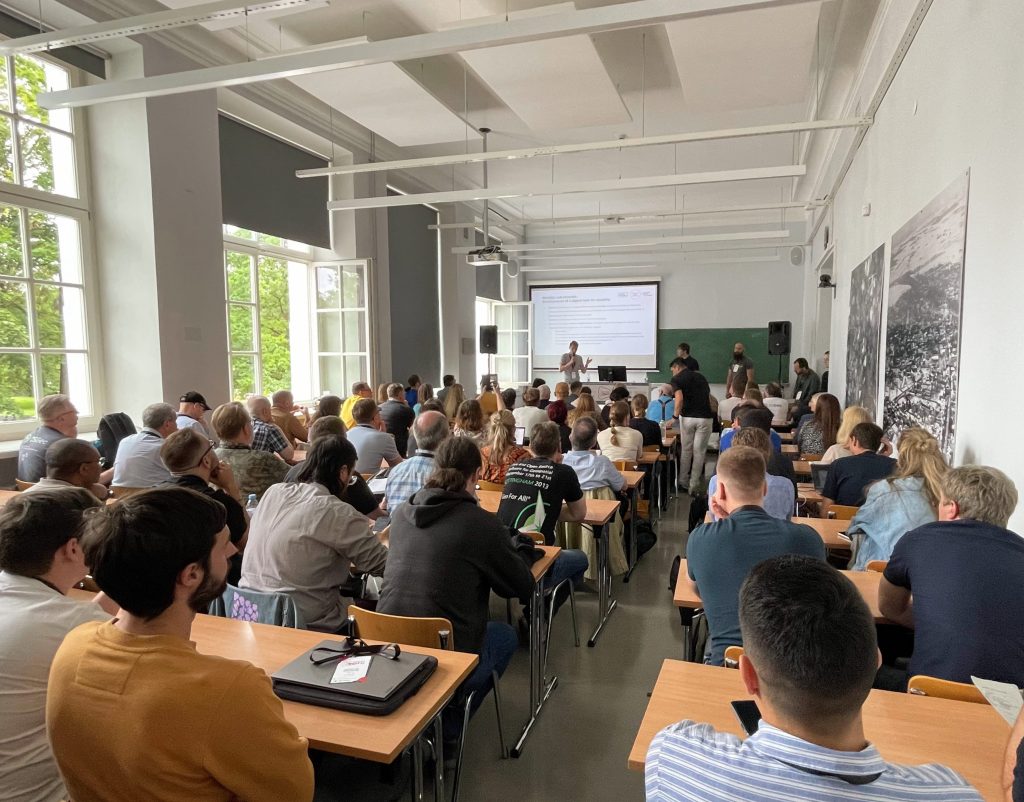
In the darkening autumn days it is fun to take a moment and remember the warm and sunny (partly also rainy) days of summer. In July GIS experts, software developers and all sorts of geospatial professionals traveled to Tartu, Estonia to attend this year’s FOSS4G Europe. FOSS4G of course refers here to Free and Open Source Software for Geospatial – meaning that the event was for everyone interested in such tools.

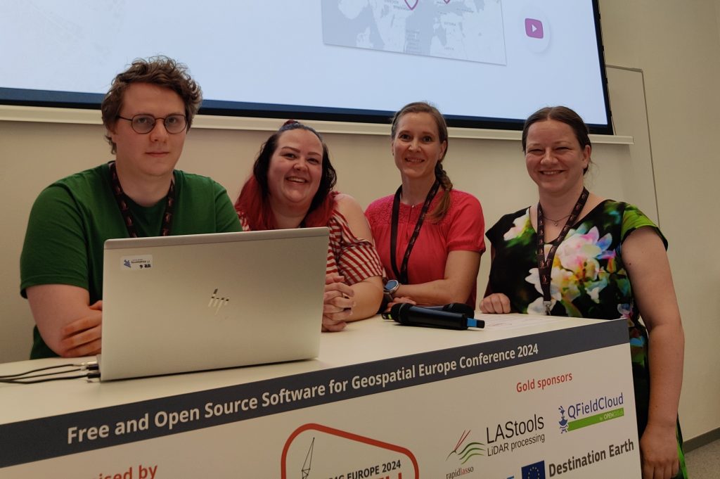
Gispo joined in with a team of 11. The event started with workshops where the participants had a chance to learn and try out new things in various geospatial technologies. This time our team was on the participant side but hopefully in the future Gispo will be holding a workshop at the FOSS4G event!
These events are excellent for learning about new technologies and features. We participated in numerous workshops, seminars and meet-ups. The topics of the conference had a wide range: we learnt plenty of new things about Maplibre, pygeoapi, G3W-Suite, GDAL, vector mosaicking with GeoServer, spatial cataloging and publishing with pygeometa and mdme, QGIS based topographic data management … and that’s just the first day!
One of the highlights was the news that it’s now possible to create plugins for QField (QGIS application for mobile devices). Our Juho got so excited about this possibility that he wanted to try it out straight away – thus becoming one of the early developers of QField Plugins! From the evening program the band Zetod definitely deserves a mention!
We took notes of the talks and presentations we heard and as one can imagine, this resulted in a whopping 53 page document. One might point out that the talks were also recorded and are available also afterwards. This is true but it doesn’t make the notes redundant. It is also fascinating to compare what a fellow gispolite took away from a session oneself attended as well.
This was not the first nor the last time we participated in a FOSS4G conference. As always, the atmosphere was friendly and warm and we had a great time. Our warmest thank yous to the organizing committee and all the friends old and new we met there. See you in the next one!
Recordings
Talking of the recordings, they have been released on Youtube. Our team gave seven presentations and to make it easy for you, here’s the list with links to the recordings with a small abstract:
Building Enterprise GIS with FOSS4G
Pekka Sarkola, founder of Gispo, gives a presentation that is targeted to ICT and GIS experts to better understand how to build Enterprise GIS with FOSS4G. Enterprise GIS is an organisation-wide collection of interoperable GIS softwares to manage and process geospatial information.
Enterprise GIS will follow basic principles of enterprise architecture. Enterprise GIS architecture is based on three layers: User Interface, Application Server and Data Storage layers. In this talk, he gives best practices to define and design Enterprise GIS architecture.
Planning for rainy days: optimizing school calendars with precipitation data and QGIS
According to a study in 2022, learning outcomes in Sub-Saharan Africa are negatively affected by rainy days mainly through the mechanism of teacher abstention. School calendars are largely shared within and across countries without taking local climatic conditions into account. This effectively means that the total number of school days in an academic year may differ according to different districts or other administrative levels.
The objective of this collaboration between Unesco IIEP and Gispo was to design a process that would enable any policy-maker in the world to look for patterns in periods of heavier precipitation in their country and to propose updated school calendars accordingly. As a result a QGIS Plugin was created to analyze precipitation data and produce school calendars.

Learning path with FOSS4G
There are multiple different ways to learn and teach the use of FOSS4G software. How to combine different platforms smoothly and how to get the most out of them is the problem new users are usually dealing with. One way to structure the learning is introducing learning paths to articulate the learning goals and the most useful path to navigate different learning modules and courses.
Complexity of Land use planning – simplicity from FOSS4G
There is an ambitious scheme in Finland to gather all the land use plans from municipalities and regions together in a harmonised manner in an open API service. This is a huge opportunity for FOSS4G since there are no tools available in any software to do this.
In this talk we shall briefly go through the current situation in Finland in land use planning. We focus on how to use PostGIS and QGIS in land use planning and bring simplicity to the complex database models. We present two use cases: Regional land use plan which can be done using QGIS attribute forms, and another for detailed zoning and land use plans, which require QGIS plugin development
Exploring the use of 3D tiles in QGIS – case Helsinki
The QGIS version 3.34 introduced support for Cesium 3D tiles. At the same time there is a growing number of 3D data published as 3D tiles. This is also true for the city of Helsinki, Finland, that has published diverse datasets as open data, including textured and untextured buildings, terrain data, and photogrammetry-derived mesh models.
We at Gispo conducted a pilot project that aimed to develop QGIS-based workflows for Helsinki to enhance the use of 3D data and 3D data production processes. In this pilot we integrated 3D tile datasets into QGIS and thoroughly tested out the new 3D tile features.

Managing airport data with Open Source Software
Nowadays the importance of geospatial data is growing for airport operators to efficiently manage airports inside and outside. In this presentation, we will show how FOSS4G software is used today to manage geospatial airport data and what are near-future challenges, like Foreign Object Debris (FOD), aerodrome mapping database (AMDB) and Obstacle management.
Before entering the aircraft, passengers like to easily check-in, pass security checks and then use various services, like restaurants, shopping, restrooms and other services. Airport outdoor and indoor maps are key tools for passengers to travel from outside the airport to the gate of the aircraft. We will show how to maintain a PostGIS database with QGIS, how to share necessary information with Geoserver and how maps are delivered to passengers to different devices.
Airport operators are mandated to collect, maintain and deliver aeronautical data of the airport. Aeronautical data is a key part of the creation of aeronautical information products which include both digital data sets and a standardised presentation in paper and electronic media. We will show how airport operator will collect and maintain aeronautical data in PostGIS database with QGIS.
How to set up a QGIS plugin project and development environment in minutes
Creating a new QGIS plugin and setting up a working development environment from scratch can be daunting, especially for beginners or occasional developers. In this talk, I present a templating tool that simplifies and streamlines the plugin development process. The tool is based on Cookiecutter, a well-known command-line utility that generates projects from templates. The template (https://github.com/GispoCoding/cookiecutter-qgis-plugin) we at Gispo developed:
- is highly customizable and follows the best practices for QGIS plugin development
- includes features such as testing, documentation, internationalization, packaging, continuous integration and development environment creation
- allows anyone to quickly start a new plugin project in minutes with minimal effort and consistent structure
Lauri demonstrates how to use the tool, how to modify the template options, and how to publish the plugin to the QGIS plugin repository. I also share some tips and tricks for developing and maintaining QGIS plugins. This talk targets anyone who is interested in creating or improving QGIS plugins, regardless of their experience or expertise.
